
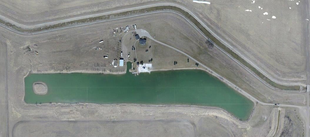
UAV Mapping and Imagery
Rob Gunn started flying drones recreationally several years ago and has since turned this hobby into another valuable service provided by MSL Land. MSL is fully certified with Transport Canada under it’s Special Flight Operations Certificate and is committed to using UAV’s in a safe and responsible manner.
Our UAV Services Include:
- Orthomosaic mapping
- 3D modelling of ground and structures
- Multi-spectral imaging for crop and plant health
- Elevation mapping for drainage
- Inspections (wind tower, solar panel, flare stacks)
- NDVI mapping
- Sales and service (fixed wing and multirotor)